Travel Drone Ops Without Breaking Local Laws
In Croatia 2023 I watched customs seize a traveler's drone because he couldn't produce flight permissions. He missed the island shoot he flew in for. My Mavic stayed in my bag because I had paperwork, a flight plan, and an ops log ready to show. If you shoot aerial footage while traveling, you need more than a charged battery. Here's the system I run so I can deploy a drone on short notice without violating local aviation rules.
Pre-Deployment Checklist (Two Weeks Out)
- Regulatory research:
- Check the country’s civil aviation authority (CAA) website for UAV requirements.
- Use resources like UAV Coach and the ICAO database to confirm whether registration, pilot certificates, or insurance are mandatory.
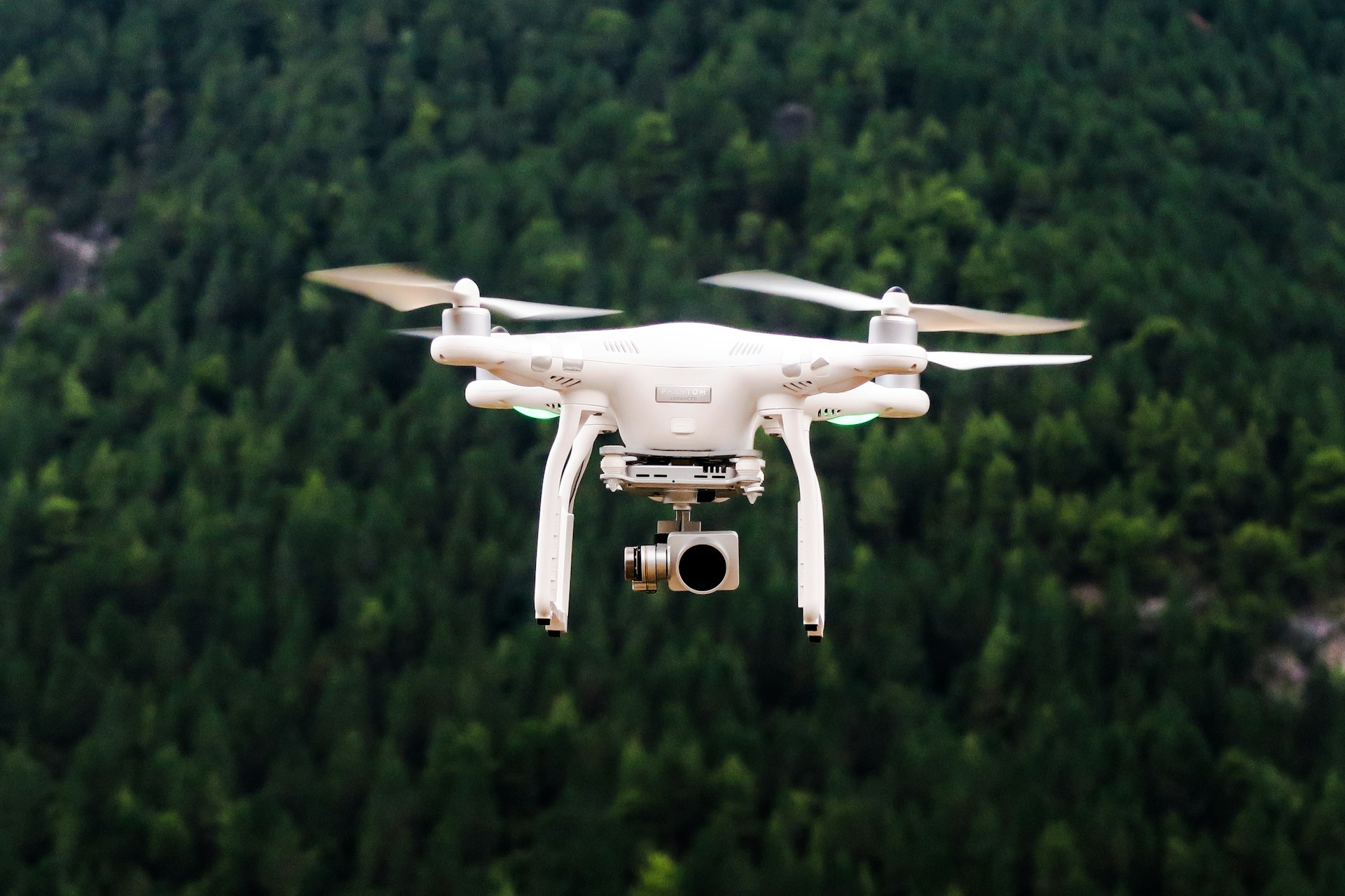
- Note weight thresholds; my DJI Mavic 3 weighs 895 g, so it triggers more regulations than sub-250 g drones.
- Permits & insurance:
- Register drone serial number with local CAA if required (e.g., DGAC in France, ANAC in Brazil).
- Obtain liability insurance covering minimum mandated amount (often €750,000 in EU). I use Coverdrone; they issue country-specific certificates within 24 hours.
- Airspace planning:
- Install local drone apps (Aloft, AirMap, or country-specific ones like Geoportal in Poland).
- Download NOTAMs and categorize planned locations as Controlled, Restricted, or Open.
- Secure special use permits for national parks or heritage sites; some require multi-day lead time.
- Documentation binder:
- Print registration certificate, insurance, pilot license, and planned flight schedule.
- Export digital copies to IronKey + encrypted cloud folder.
Gear Prep
- Drone + spare batteries (label each, track cycles).
- ND filters, spare props, repair kit.
- Launch pad to avoid debris kicks in dusty terrain.
- Portable power station (EcoFlow River) for remote charging.
- GPS tracker (Trackimo) taped under battery in case of flyaways.
On Arrival: Customs & Local Registration
- Declare the drone proactively if required (India, Thailand). Present registration paperwork; many officers just copy serial number and release you.
- If customs requests a security deposit, pay with credit card; keep receipt. I’ve had deposits refunded within 48 hours when leaving.
Operating Workflow
- Site survey: Walk the area, identify obstacles, check for people, wildlife, and overhead wires.
- Launch briefing: If working with a crew, assign roles (pilot, visual observer). Confirm communication signals (hand gestures, radio channels).
- Flight logging: Use AirData or DroneLogbook to record each flight: location, duration, altitude, anomalies. Export logs weekly.
- Risk mitigation:
- Geo-fence altitudes per local limit (e.g., 120 m in EU, 400 ft in US).
- Maintain VLOS (visual line of sight). If using FPV, ensure observer maintains VLOS.
- Carry an analog compass; GPS can drift near metallic structures.
- Emergency procedures: Pre-program Return-to-Home altitude beyond tallest obstacle. Keep a spot to ditch safely if controller disconnects.
Data Handling
- On-site: Copy footage to encrypted SSD (Samsung T7). Keep original microSD card in a separate case until data integrity is verified.
- Metadata: Scrub sensitive EXIF if necessary before sharing (use ExifTool).
- Backup: Upload to cloud (Backblaze B2) via VPN when network is trusted. Otherwise store offline until secure connection available.
- Retention: Follow client contracts—many specify delete-after-delivery to reduce liability.
Compliance Table
| Country | Must Have | Key Limitations | | :-- | :-- | :-- | | Portugal | EU operator ID, insurance | No flights above 120 m; separate permits for Lisbon riverfront | | Mexico | AFAC registration, remote pilot license for >2 kg | No flights over people or government buildings | | Indonesia | Permit for commercial flights | Max 150 m; restricted near temples and military bases | | UAE | GCAA registration + eID | Dubai requires additional police approval; heavy fines for violations |
Incident Response
If authorities approach mid-flight:
- Land immediately.
- Provide documentation binder; explain project purpose.
- Show flight logs proving compliance.
- If equipment is seized, request written receipt and case number.
For hardware failures (flyaway, crash):
- Mark GPS coordinates, take photos, record witness statements.
- Notify aviation authority if required (some countries demand reports within 24 hours).
- Initiate insurance claim with logs and evidence.
Post-Project Wrap-Up
- Archive flight logs with project folder.
- Reconcile battery cycles; retire batteries >150 cycles for safety.
- Update data map with location, customer, storage path.
- Submit compliance report to client (especially if they are the operator of record).
Quick Reference Card (Laminate This)
PRE-FLIGHT
[ ] Registration & insurance docs packed
[ ] Airspace check (NOTAMs, geofencing)
[ ] Launch/landing zones cleared
[ ] Battery levels & firmware verified
FLIGHT
[ ] Observer briefed
[ ] Altitude limits set
[ ] Log start/stop times
POST-FLIGHT
[ ] Footage backed up (primary + secondary)
[ ] Log synced to AirData
[ ] Equipment inspected for damage
Drones produce incredible footage, but authorities view them as aircraft, not toys. Treat your drone program with the same rigor you’d apply to any field operation: paperwork, logs, contingency plans. Do that, and customs will wave you through while the perfect aerial shot is already rendering on your laptop.